A lot of the Cahaba lilies in Alabama are
located on private property or accessible only by canoe. The
easiest and most obvious place to photograph them is at the
Cahaba River National Wildlife Refuge. It has the largest stand
in Alabama and possibly the world but that is contested by the
one at Langsford Canal State Park in South Carolina.
The Cahaba River National Wildlife Refuge
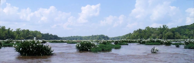
The shoals on this stretch of the Cahaba River is known as
Hargrove Shoals. I like to divide the shoals into three
sections:
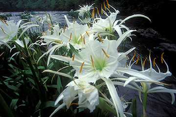
Upper section of Hargrove Shoals - This section offers
scattered patches of lilies beside a gravel road that runs
alongside the river for more than a mile. It is probably the
most accessible and easiest place to photograph Cahaba lilies
there is anywhere. The maintenance of the gravel road varies
from year to year and sometimes it would not accommodate a car
built low to the ground. They tend to do maintenance work before
the Cahaba Lily Festival in mid-May each year.
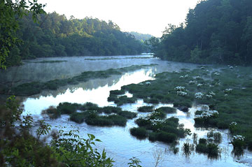
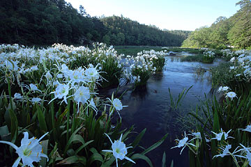
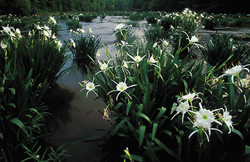
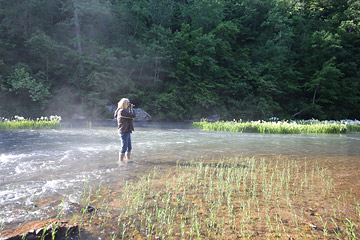
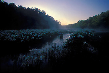
Cahaba lilies grow in shallow shoals. The first photo was taken
from the road and the second one by wading into the Cahaba river
with water hardly going above my knees. I did have to pick my
way across a current to get to this spot and used my tripod for
a staff.
Middle section of Hargrove Shoals - To reach the middle
section you have to park and wade the shallow Caffee creek. The
trail that follows is well worn and easy walking and a short
distance to the next Cahaba lilies.
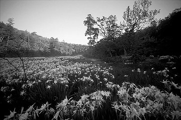
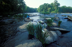
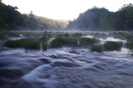 Lower section of Hargrove Shoals
 - As you make your way
further down the trail the shoals end, the river deepens and you
might think that's the end of the lilies but if you continue
walking for about 15 minutes you will come to more shoals and
another large section of lilies. The river is much wider there
than at the upper sections of shoals. These shoals are not as
easily accessible for wading and the landscape is not as
picturesque.
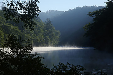
The river deepens on the way to the last shoals
Hargrove Shoals. (This photo is included in
The Natural Beauty of
Alabama)
TWO WAYS TO GET TO THE CAHABA RIVER NWR:
The Cahaba River NWR is about 30 miles southwest of Birmingham
in Bibb County. From Birmingham, make your way to West Blockton,
then take County Road 24 for about five miles and take the
unpaved road to the right, just before you reach the Cahaba
River bridge. There should be a sign but if you miss the turn,
just cross the river and turn around.
Or, from Birmingham, go south on I-65 and turn at Alabaster or
Calera to make your way on to Montevallo and then through
Wilton. A few miles later, turn right on County Road 65 and
follow it a few miles to the end. Turn left and when you pass
over the Cahaba River, take the next left, a dirt road, to the
river. There is a sign at the entrance of the road.
 Langsford Canal State Park - South Carolina